Day 2
I had planned to get up around 5 AM, figuring that was more or less my body’s usual wake up time and having gone to bed 1030 or so, it seemed reasonable. I had gotten up a number of times to pee and hadn’t slept well and around 5 I was getting some decent sleep for a few minutes, so I rolled out of the tent officially about 545. I got everything packed up, eating breakfast along the way and was ready to go at 7 AM. Mike and Andy figured I would catch them. Spoiler, I didn’t.
Morning HAB
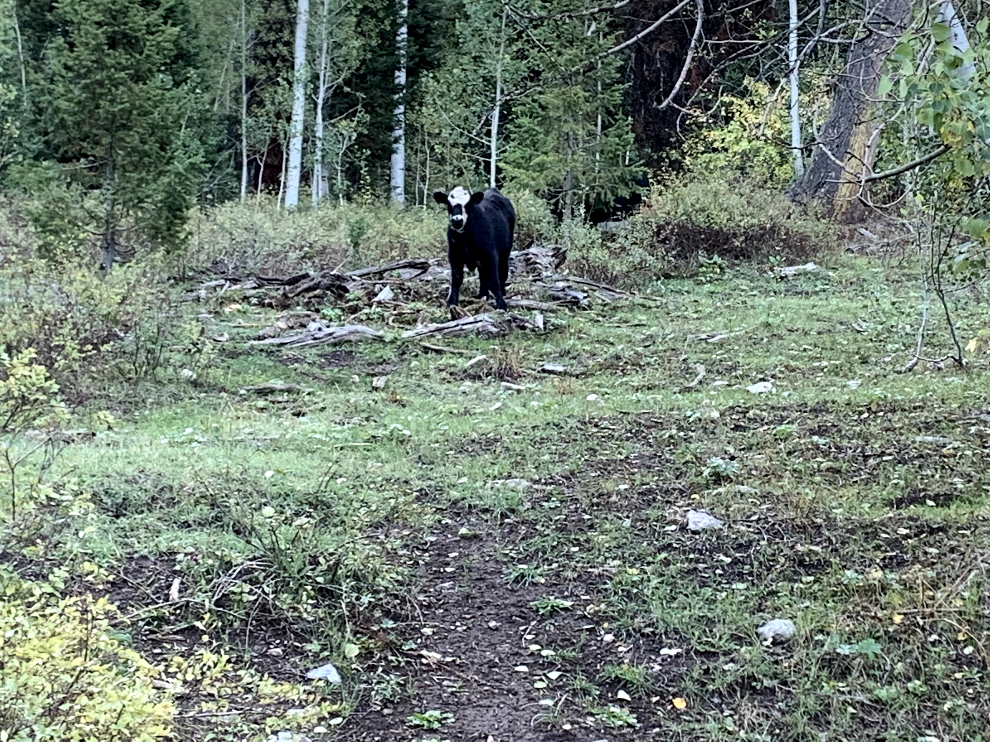
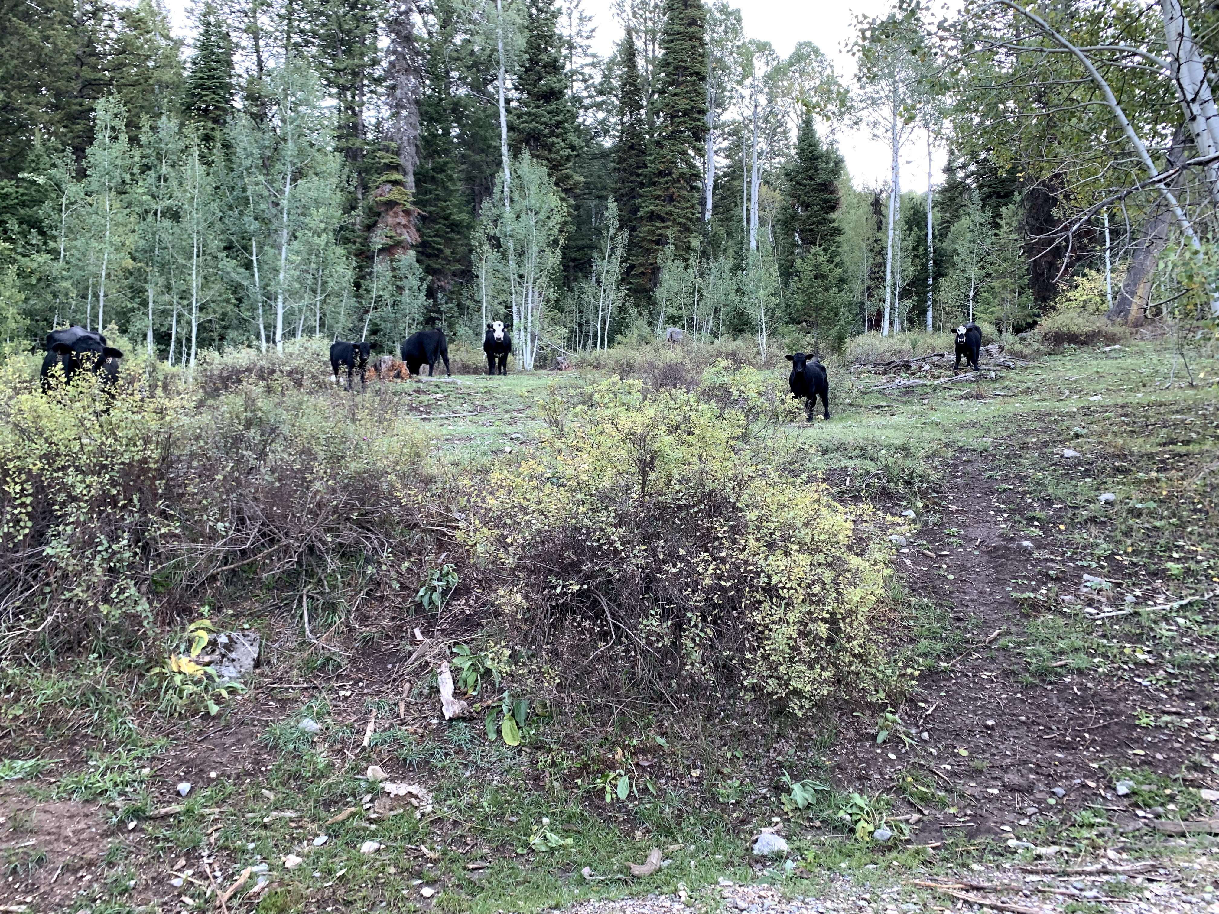
I started rolling up the road, letting my legs wake up with the hike-a-bike. It was pretty chilly, but not so chilly that I had to put on leggings. Still had my shorts on, but more layers up top. It was a very quiet morning roll up the big climb. I started to pedal on occasion, but still quite a bit of HAB going on. I saw a cow that had a pattern on its head that looked like a deformed skull pattern of some sort. I was actually getting some signal, so I texted Melissa a picture of the cows with a “Good Morning”. I came across some nice views generally too along the climb.
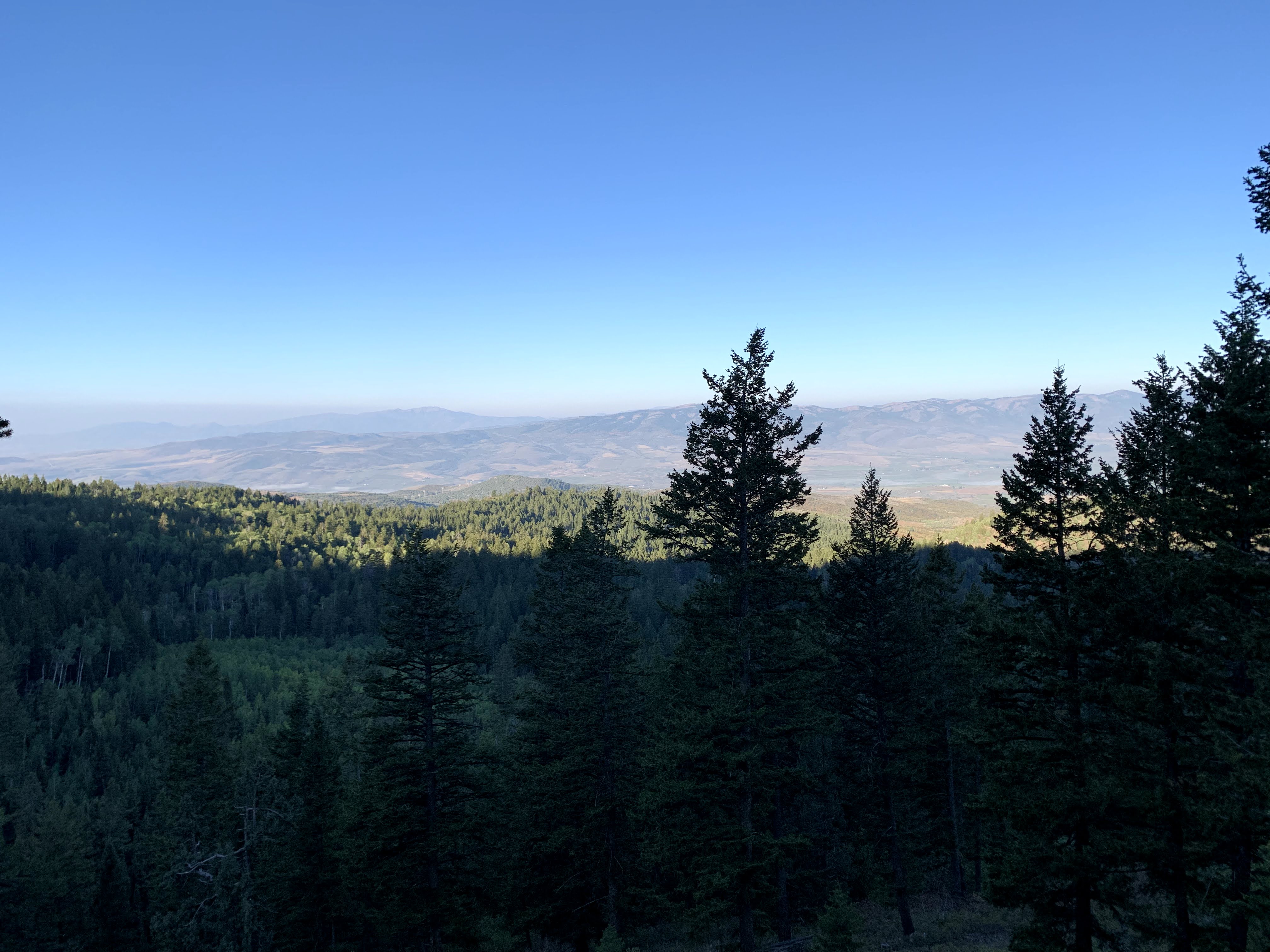
Around 9 AM, I hit the summit. Looking at the starting and ending elevation, it was about 2K vertical feet over 5 miles to start the day. Before the descent, I took a moment to sunscreen, adjust my clothes some and prepare for a chilly descent. I had shed some while producing heat on the climb, but it hadn’t warmed up that much and the descent (although not as steep) was going to be chilly most likely.
Down Into Soda Springs
This descent was one of my favorite parts of the ride for sure. The dirt roads were nice, the turns swept around allowing me to maintain good speed on the descent. I came across a few trucks and people along the road as I came down. The coolest was the hawk screech I heard though followed by seeing the hawk flying up around above me. I think I may have startled it bombing down the road. I’m glad it didn’t decide to have it out with me over the disturbance. Instead, I just appreciated its beauty and we both went on about our days.
I kept descending and despite going down hill, was becoming a little concerned about water as I was getting a little after the morning climb and passage of time. I was happy to see the name “creek” coming up in the directions though (8 Mile Creek road IIRC). Sure enough, I passed a stream just as the road became pavement for a bit. Sure enough, there were cattle everywhere.
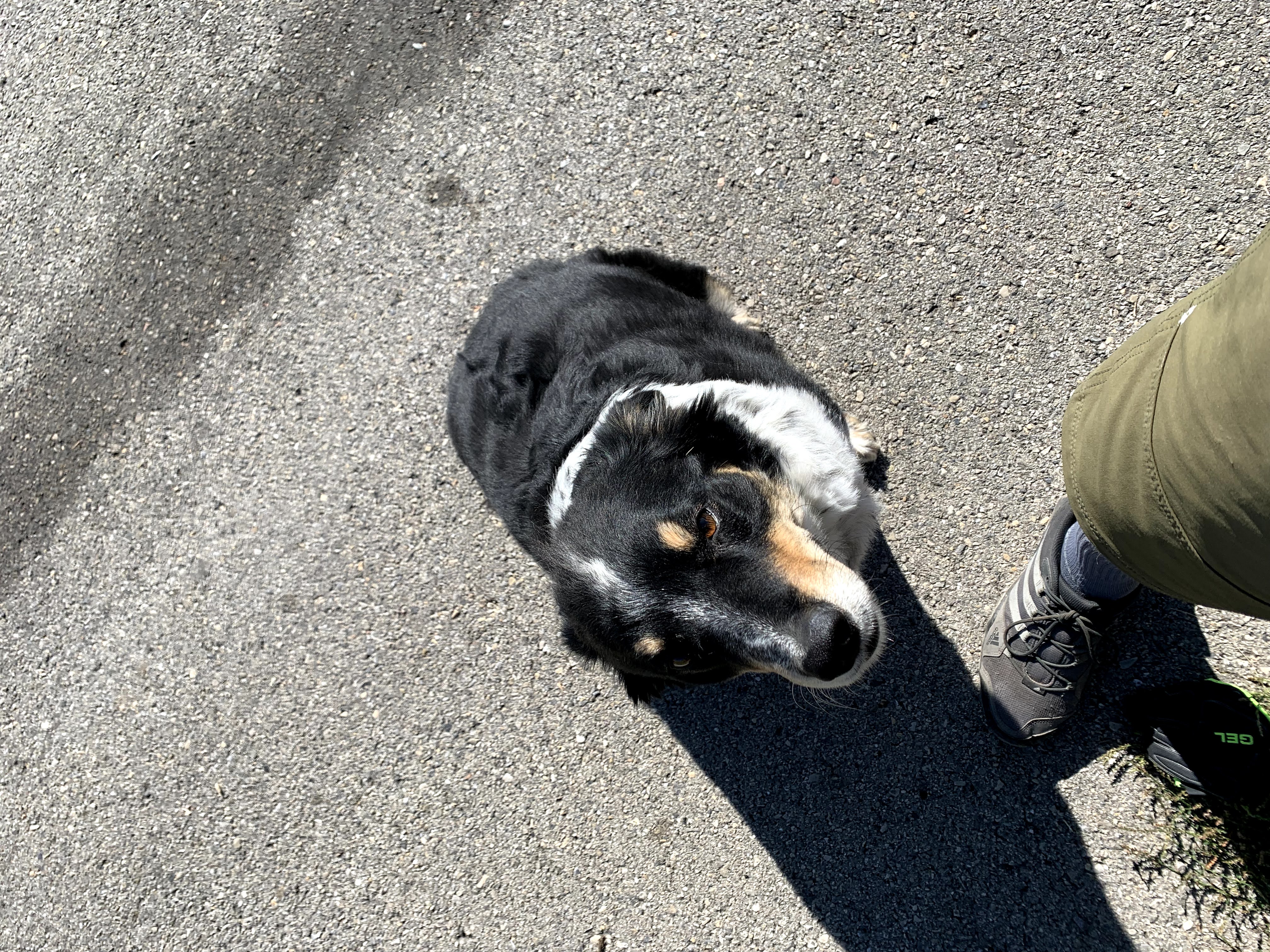
After filtering, I continued my descent. I came out and saw a structure or two and stopped near what looked like rancher’s residence. I had heard a dog bark as I approached. I figured there would be more barking as I paused, but instead, the friendliest dog I ever met came out to greet me and say hi. This pup came to say hi and hung out while I sorted some water bottles, got something to eat etc. When I pulled out my phone to take a pic, the pup sat and posed for this pic like it was a regular thing they were used to. He/she sniffed around for a minute while I finished getting sorted and we parted ways.
The road was rolling and then mostly descending and then flat as I got closer to Soda Springs. Then suddenly I was in Soda Springs. I was pretty exposed and it was getting warmer, so I was ready to get out of the sun for a minute. I pulled around behind some building, and apparently stopped right in some drive-thru lane as I stopped to check my phone for places to eat. I also checked trackleaders and Mike/Andy looked to be pretty well ahead of me. I think it was around Noon now.
BBQ and Kindness of Strangers
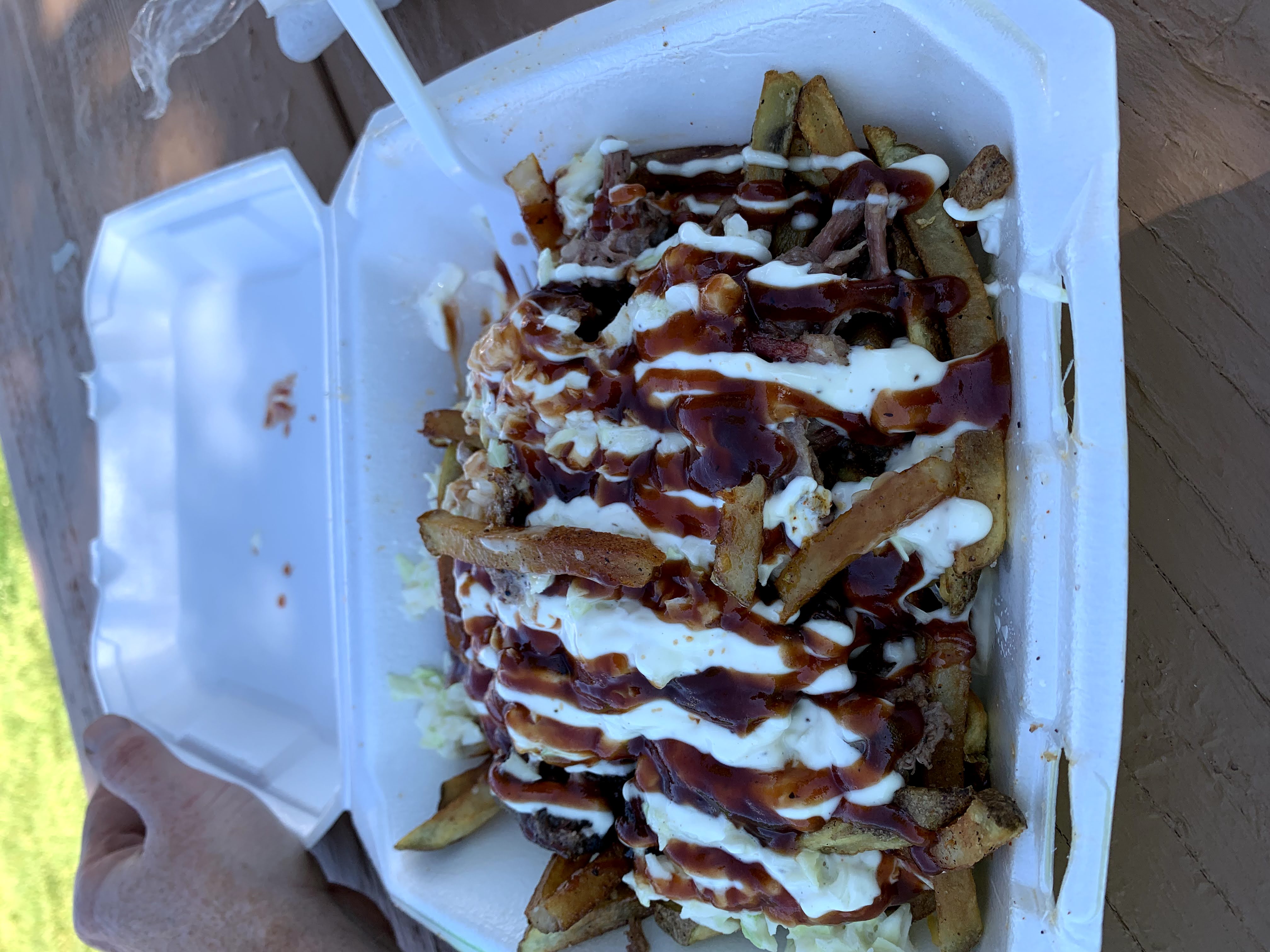
The best option looked like Lees BBQ Truck, which happened to be open now and would be until 2 PM. I rode over that way and found the truck having to gave around for a minute. This was the first time I found my brain unable to handle tasks outside of turning pedals, selecting gears very well. I taste-tested their brisket and pulled pork as I was considering getting the “Hog’s Pen” (pulled pork, colelsaw … over fries with sauce etc.) or the “Cow’s Trough”. I am definitely eating less beef these days, but that brisket was so good, I caved and got the brisket version.
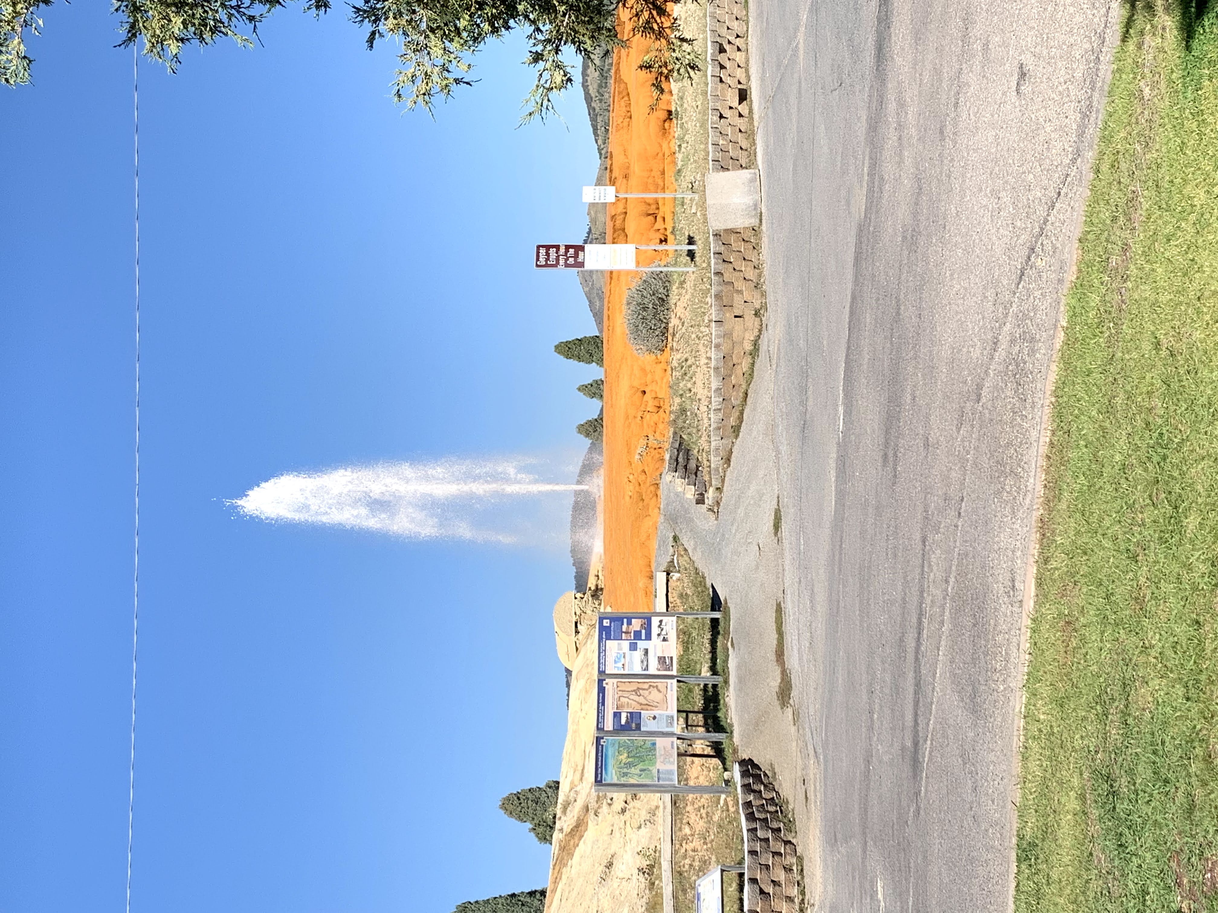
Conveniently, there was a park bench with a view of the geyser that went off every hour on the hour. It was going off at Noon as I sat down for lunch. It was at this point I also realized that my charging block I had bought the day before (realizing I had not packed one), was now lost. There was a young man and young woman at the food truck and she let me borrow her charging block. I tried to charge me battery pack as it could charge anything else. So, stuff charged up while I ate and took a short nap with my legs up on the park bench and layed in the grass.
I left my stuff charging and went down the block to stock up on food. I had to get a pie for tomorrow’s breakfast and other food in general. After a stop at the grocery store and a stop at the conveniene store/gas station, I rolled back up to where the food truck was. While at the grocery store though, it’s worth noting that the cashier there stopped mid-order to walk me back to the area where I could find pies (for breakfast the next AM of course). I hung out getting stuff re-sorted for a bit and eventually took my stuff off the charger. They were about to close up (they were only there until 2 PM) anyway. I didn’t buy a charger there figuring I could make it to Idaho Falls and get one there if needed. The young lady asked me if I had bought one. When I told her I hadn’t, she offered me a spare she had in her truck. Gotta love the kindness of strangers!
As much as I just wanted to take another nap, it was time to get going and the Dr. Pepper I had with lunch was not going to allow for that. The path out of town was right near where I had stopped to eat. There was a gravel bike path heading north and I was back on the road.
Much of the rest of this afternoon was rolling gravel roads in the exposed sun. There was one more RV Park convenience store along the way. I got an ice cream sandwich there and an update that the other riders were hours ahead of me at this point. I had intended to get a vanilla ice cream sandwich, but somehow grabbed mint chocolate chip. Oh well, no sense wasting calories. I topped off water there and kept moving.
I was getting tired mentally and physically now and being exposed was taking its toll, but I kept plugging along. At one point riding up a hill, I started to veer to the left trying to check something on my phone while navigating gravel. As a result, I wound up on the far left of the road. I decided to just stop and pull off the road. As I did, a truck carrrying a large liquid-something tank crested the hill, saw me and started to adjust its course (read: swerve) coming down the hill. The driver waved casually as his truck kind of slid a bit across the road due to the adjustment.
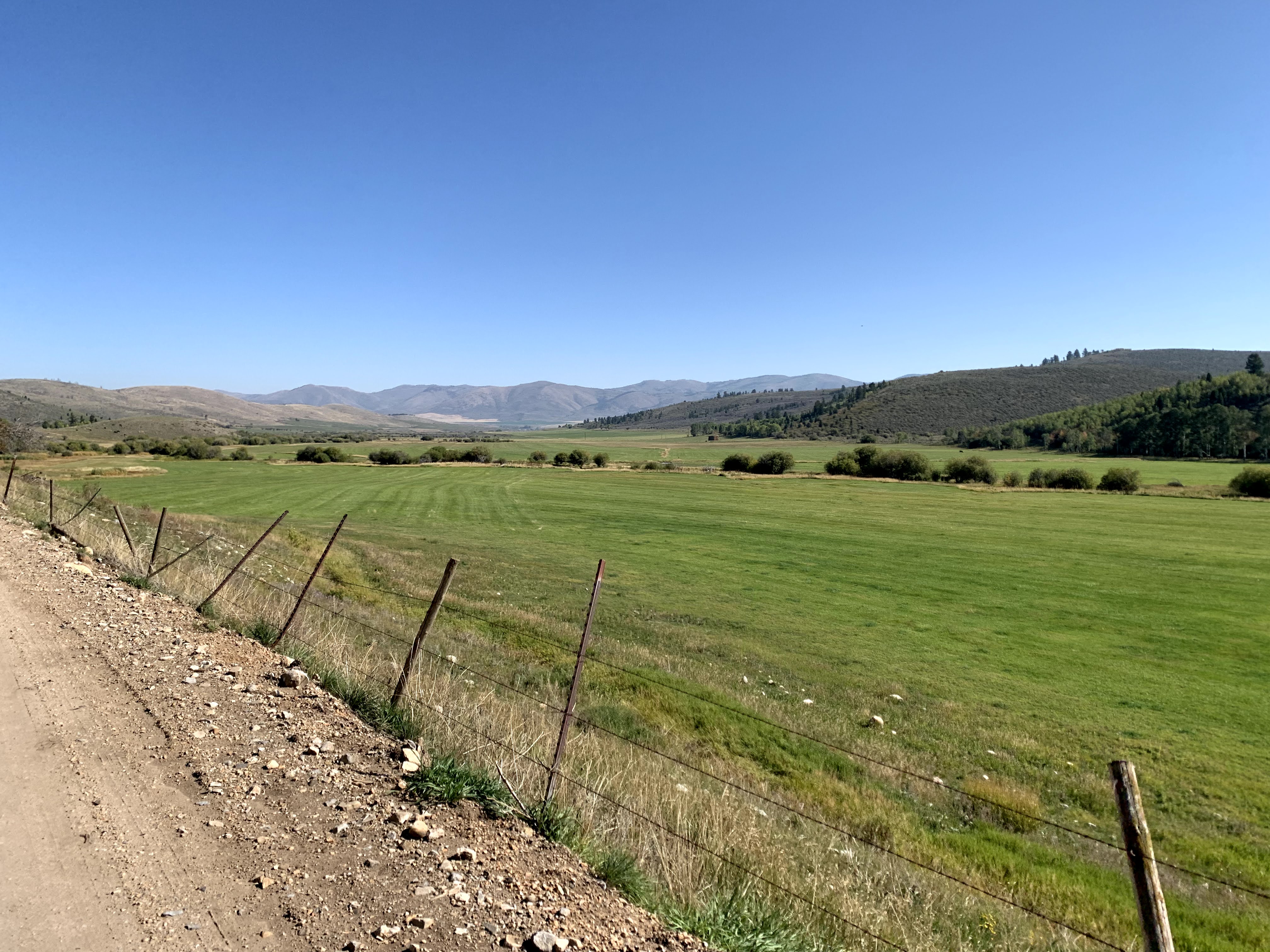
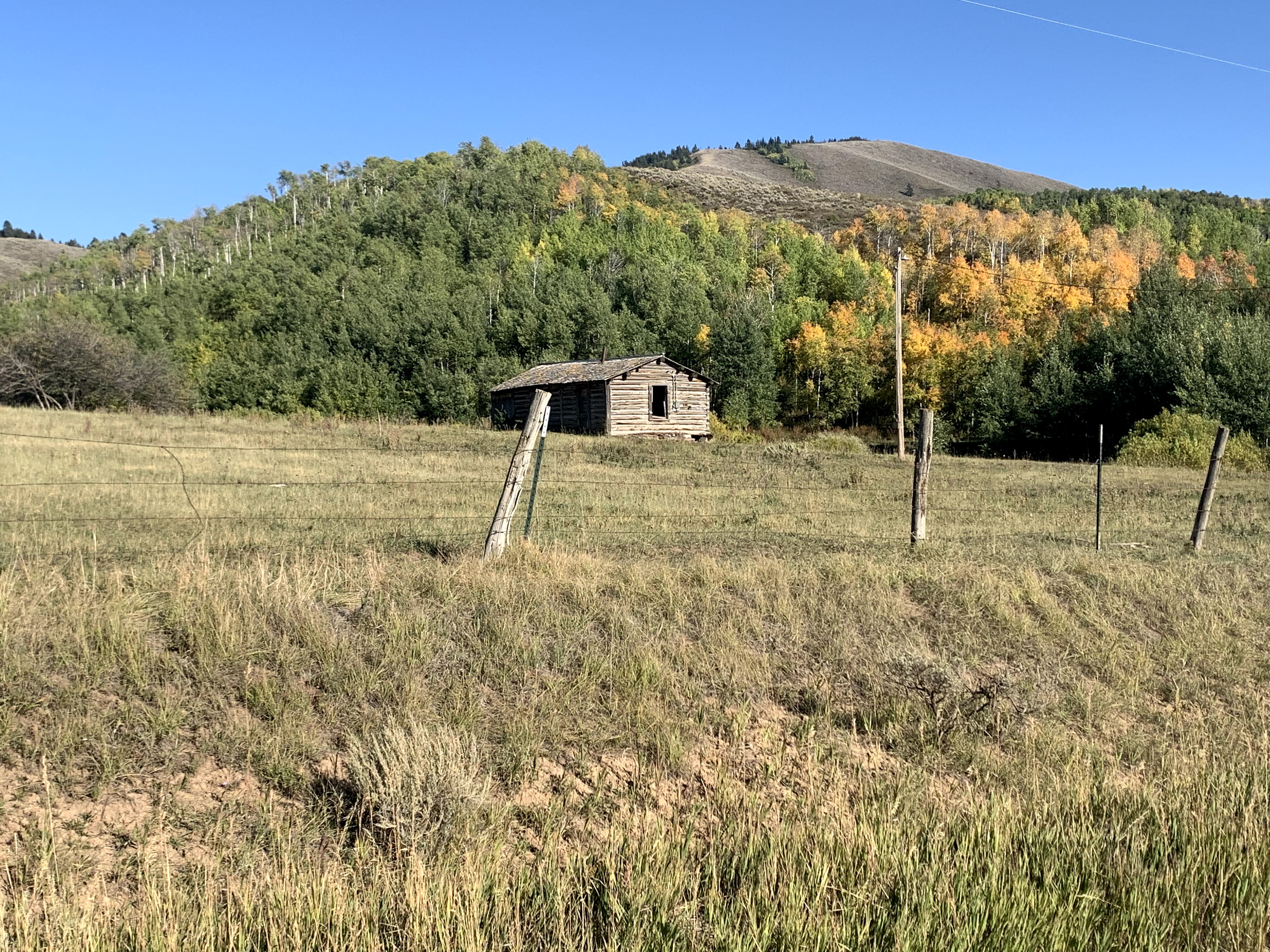
I took less photos this day as I was pretty heads down and just trying to make time. I do recall taking this photo though around this time.
I had it in my mind that maybe I could get to Idaho Falls on day 2 if things were going really well. Things weren’t going well, so my target was the camp spot about 40 miles outside of IF. Somehow, though that night, I was telling myself it was 26 miles outside of IF. I still haven’t reconciled my math difference there, but I also made it home, so I don’t think it matters too much.
Later in the afternoon, I entered the national forest and enjoyed some nice scenery again. I HAB’d and pedaled up the climb here and eventually descended down into the area near Gray’s Lake. The descent was nice and fast. I did encounter one or two vehicles coming up, but no pucker factor was involved. I was dumped back onto some paved roads, but everything was pretty flat at this point. I continued around with my next mile marker/s being the refuge office/HQ type building and a church building near it. I had heard the water was bad at the church (sulphur-smelling etc.) and tried to get water at the refuge building, but no joy there. The toilets worked but the water fountain outside did not. There was a non-potable spigot, but I opted to wait. Probably should have filtered, or at least filled one of my vessica bottles just in case. A lesson learned after this point.
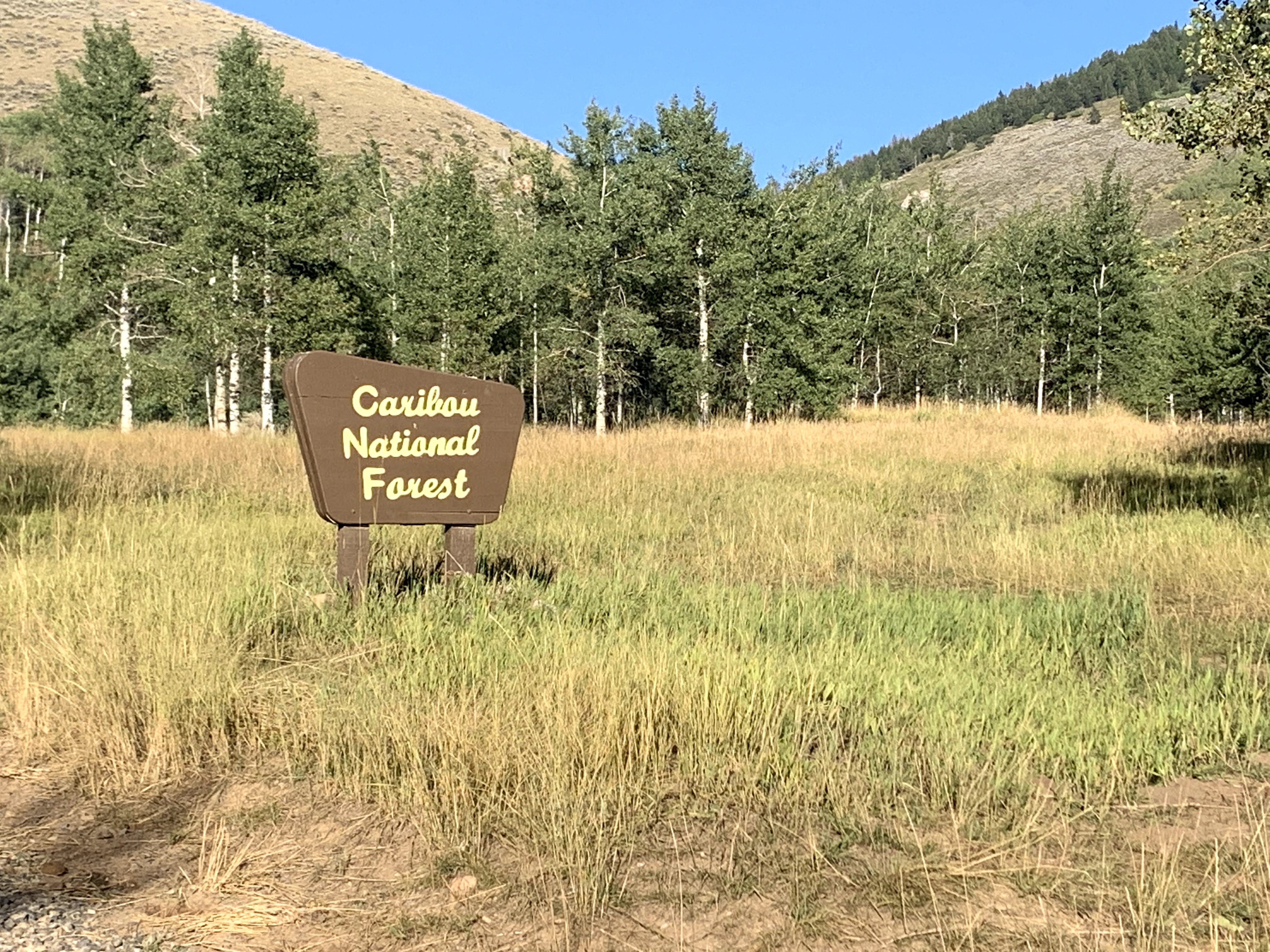
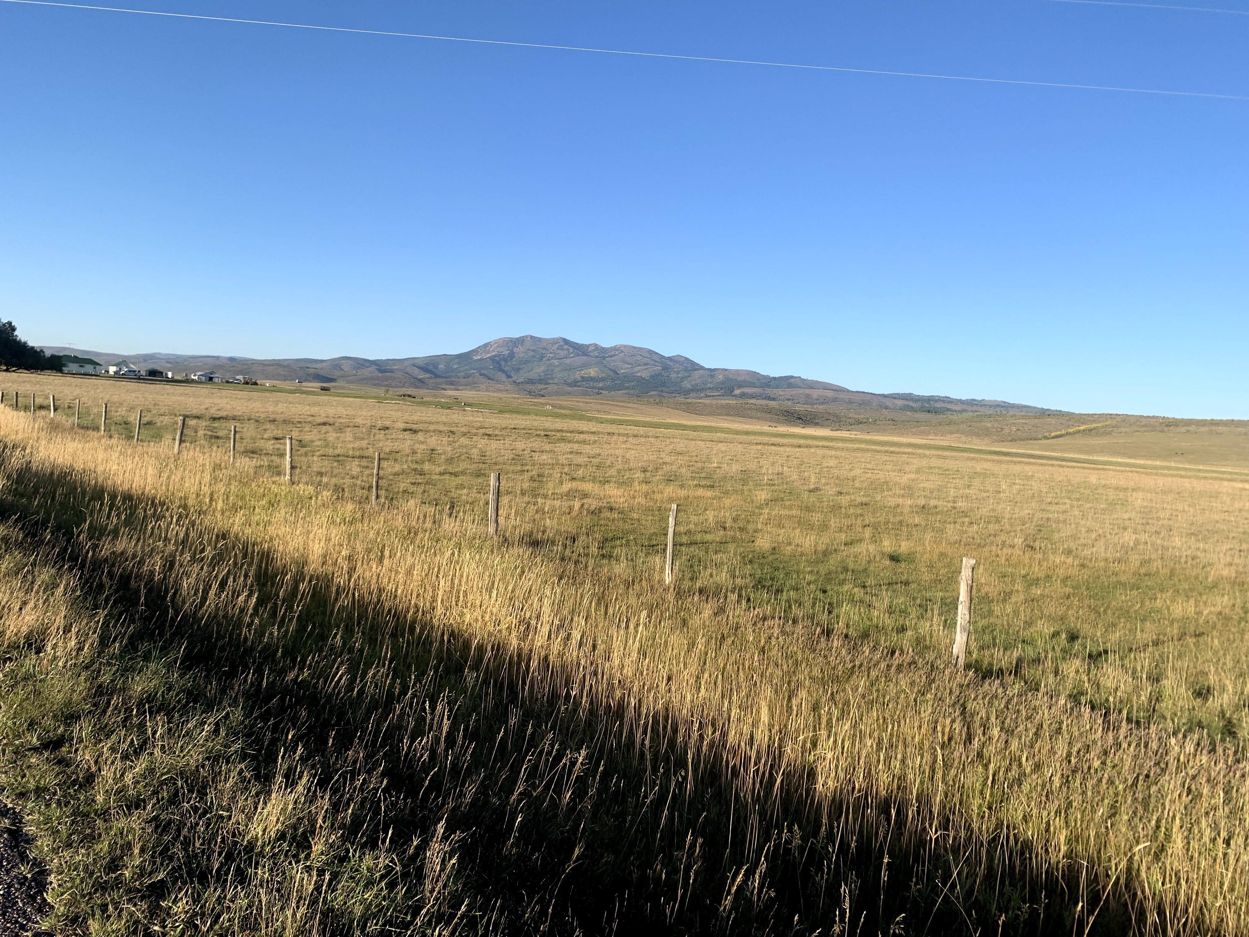
After not getting water, I stopped behind the church to charge devices and eat some. I ate some smokehouse almonds and gardettos and jerky that I had been ignoring as my ‘dinner’. I let my devices charge up a little (phone and tracker) and after about 20 minutes or so at the church was back on the road. I was about 65 miles in at this point and had another 25-ish to go if I was going to hit that camp site near the spring. The sun was setting and it was super peaceful. I rode on out of the “town” (I mean, there were houses). One of the last homes I saw there was one with a “Come and take it” Texas-themed flag and some (I assume) assault rifle. I really kind of wanted to top off my water, but decided to not stop in and ask them for any.
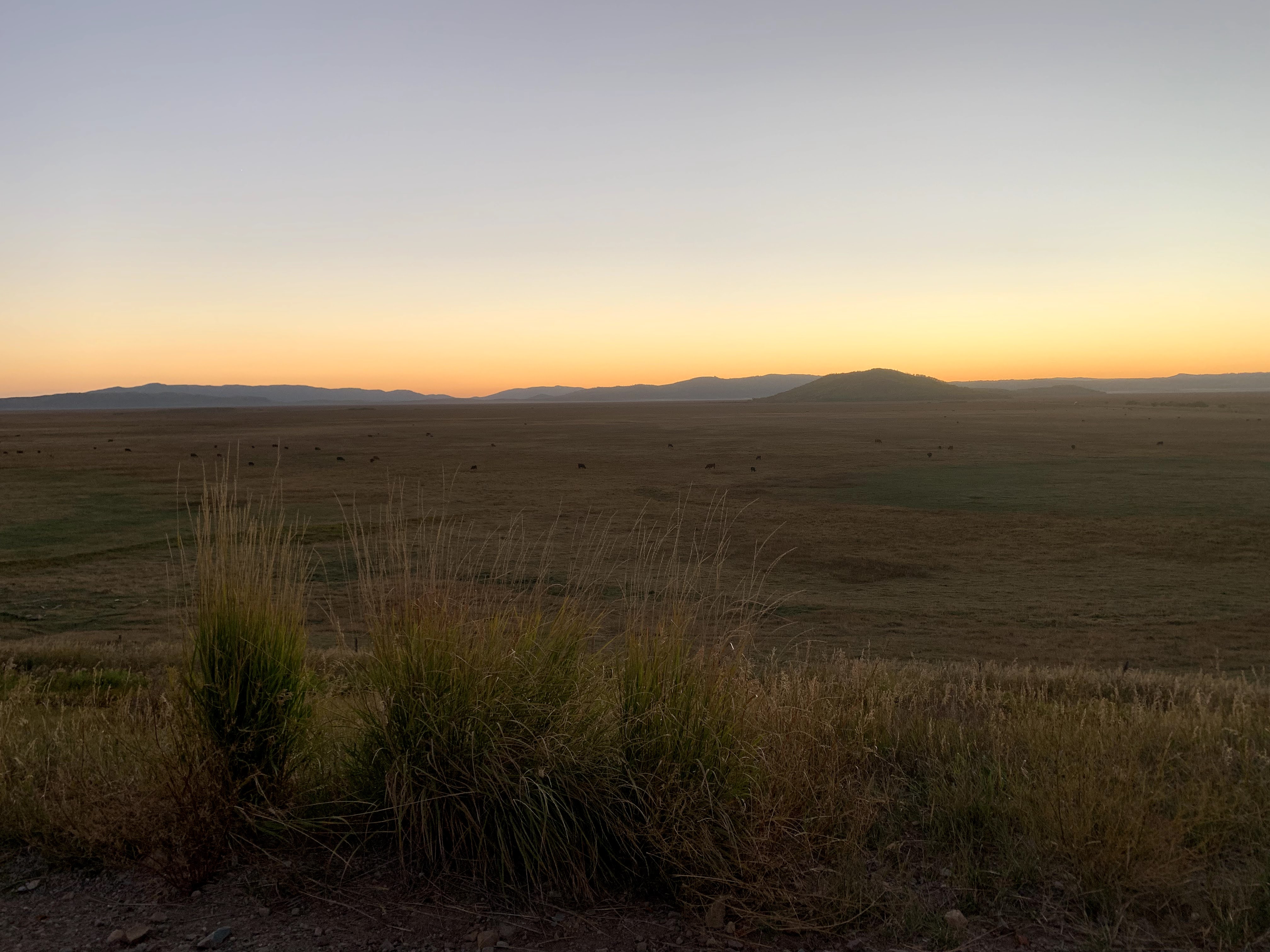
I was soon officially in the refuge, rolling along gravel roads and it continued getting darker. I just kept rolling along watching my directions. I had re-upped on caffeinated tailwind to help me through later in the day. I probably should have kept eating more, but tend to eat less the later it gets. My main concern was for water, but by the POI markers and the elevation on the navigation map, I should be OK … assuming the spring was where it said it was. I kept rolling along, now with my lights fully on. My light on my helment did better than I thought it would, but still used my headlight on its lowest setting for much of the time. It’s power light was red now telling me it was low.
There was an occasional truck that passed me in one direction or the other. At one point, I paused to double check directions and pee and saw a light shining in my direction from a little distance. Don’t know if they got a show or not. I pulled my headlight off and shined it back in that direction, but all I saw was sparkly dust lit up in the high lumens of that light. I carried on, mostly thinking about getting to the spring, and then to the camp site (and another spring).
As I got closer, my checks on the map were more frequent as I did not want to miss it. At one point, checking to make sure I hadn’t passed it, I stopped and heard a trickle of water. I got down, filled my vessica bottle up multiple times refillilng everything. Then I rolled back on. At one point, I passed a group of RVs in a big clearing with a big fire going. I was tempted to stop and camp there on the perimeter of their area, but opted to carry on.
I had a moment of RWGPS telling me I was off-route which induced me to go further off-route, only to get back on-route. It didn’t help that my turn had a sign on it that said “logging operation”. I wasn’t excited to go into a logging operation area, but it turned out that was indeed my turn. The road was notably worse and I was on headlamp and helmet light as my headlight had gone from red to completely off.
Green Eyes, Black Silhouettes
There were sounds of cattle in the area too. So, it should have been obvious to me as I crested one small bit of road to see two pairs of green eyes staring at me. My reptilian brain focused on the green eyes thinking “cougar”. My hand went immediately to my conveniently placed whistle just in case. Then my mind slowly processed two things … their silhouettes were black in my headlamp and kind of fat (not beige and sleek). Also, there were two of them. Momma cougar wouldn’t bring her cub to greet me. I moved on, but this also helped me realized how spent I was.
The road was all up/down and in awful condition. It was both rutted and moondusty somehow (even though I couldn’t see it very well). Not too much further though, I was about to cross some water and my brain was like “Hey .. water! That camp site is supposed to have some water at it!” I turned left and looked. There was a beautiful clearing with trees to bear bag and good spaces to set up camp.
I got about setting up camp, bear bagging etc. I drank my recover drink. I settled in my bike and myself for the night, said a prayer of gratitude and made sure no alarm was set. I would get up whenever I got up the next day … at least I thought I’d have some more of a say in the matter.
Totals
Nearly the same as day 1 except for being notably slower.
91.1 miles // 5927 feet climbing // 10:26:11 moving time